


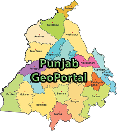
Punjab geoportal has been established to provide easy access to catalogue of organized spatial data for use at Local, State, Regional and at National levels.
|
ABOUT GEOPORTAL
Punjab geoportal
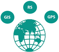
Geospatial Technology
Geospatial technology helps in analysis, modeling, simulations and visualization of earth referenced data. It involves Geographic Information System (GIS), Remote Sensing (RS) and Global Positioning System (GPS).

E-Governance
Connecting geospatial data and service producers from various departments will enable e-governance and bring aiding benefits.

Decision making
Integration of geographical data to analyze and understand the problems for better decision making, better communication, better planning and better resource management.